NYenvironcom · Mid-New York Environmental & Sustainability Committee
TerrainScape 2.0
Connecting our Land, Community, Climate — volunteer-powered watershed evidence for the Wallkill River, Basha Kill, and Neversink. Browse drone orthomosaics, land-use survey imagery, watershed and WaterInsight monitoring context, and satellite-based HAB screening — always checked against field observations.
- Volunteer monitoring
- UAV orthomosaics
- Watershed context
- HAB screening
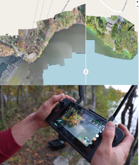
Explore the project maps
Each application pairs aerial or satellite imagery with on-the-ground WaterInsight stewardship. Drone and satellite layers are screening tools — field evidence and agency review govern every determination.
NYenvironcom · nyenvironcom.ngo — report a suspected bloom through NYSDEC NYHABS, never from a satellite image alone.